Loading...
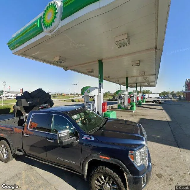
10679 Lancaster Rd is a retail property in the city of Hebron, Ohio. It is located in the Licking County region of the United States, and shares postal code 43025.
This location is a total of 24,446 square feet, has roof access, was built in 1964, has a floor area ratio of 0.032, and a 756,202 square foot lot area.
10679 Lancaster Rd
Retail
1964
24,446 sq ft
756,202 sq ft
1
1
0.032
Yes
No
39089758300
3/12/2026
12/6/2023