Loading...
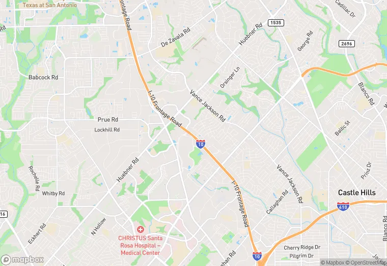
10707 W Interstate 10 is a multi-family property in the city of San Antonio, Texas. It is located in the Bexar County region of the United States, and shares postal code 78230.
This location is a total of 196,023 square feet, has roof access, was built in 1975, includes 6 buildings, and has a floor area ratio of 0.471. The property has 6 residential units, and a 416,586 square foot lot area.
10707 W Interstate 10
Multi-Family
1975
196,023 sq ft
416,586 sq ft
1
6
0.471
6
Yes
No
48029181302
3/14/2026
11/14/2025