Loading...

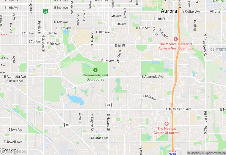
10722 E Alameda Dr is a land property in the city of Aurora, Colorado. It is located in the Arapahoe County region of the United States, and shares postal code 80012.
This location is a total of 10,616 square feet, has roof access, was built in 1977, has a floor area ratio of 0.359, and a 29,590 square foot lot area.
10722 E Alameda Dr
Land
1977
10,616 sq ft
29,590 sq ft
1
1
0.359
Yes
No
8005080000
4/7/2026
9/21/2023