Loading...
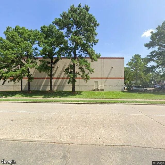
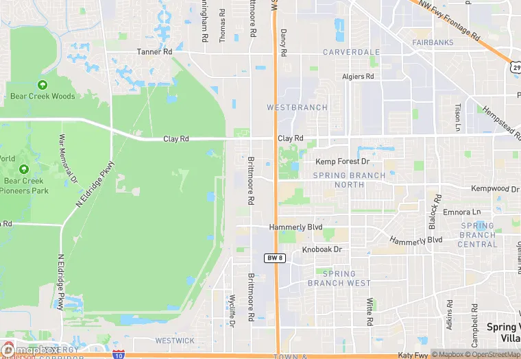
10801 Kempwood Dr Bldg 2 is a industrial property in the city of Houston, Texas. It is located in the Harris County region of the United States, and shares postal code 77043-2045.
This location is a total of 53,176 square feet, has roof access, was built in 1984, has a 125,675 square foot lot area, and is zoned as v. The property has a ceiling height of 22 feet, 66 parking spaces, and 15 loading docks.
10801 Kempwood Dr Bldg 2
Industrial
1984
v
53,176 sq ft
125,675 sq ft
1
22
66
15
Yes
No
3/12/2026
8/4/2025