Loading...
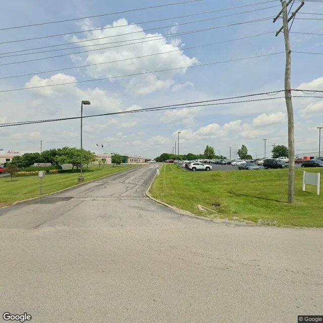
110 Clarence Dr is a industrial property in the city of Mount Sterling, Kentucky. It is located in the Montgomery County region of the United States, and shares postal code 40353-9088.
This location is a total of 80,000 square feet, has roof access, was built in 2004, has a floor area ratio of 0.189, and a 423,098 square foot lot area.

110 Clarence Dr
Industrial
2004
80,000 sq ft
423,098 sq ft
1
1
0.189
Yes
No
21173920100
3/12/2026
1/29/2025