Loading...
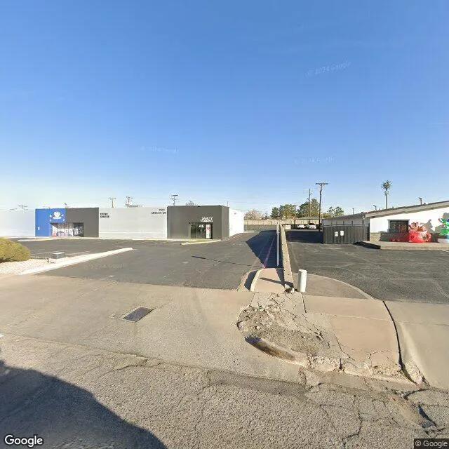
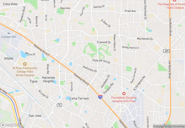
11201 Armour Dr is a specialty property in the city of El Paso, Texas. It is located in the El Paso County region of the United States, and shares postal code 79935.
This location is a total of 148,207 square feet, has roof access, was built in 1981, includes 5 buildings, and has a floor area ratio of 0.444. The property has 7 commercial units, a 333,548 square foot lot area, and is zoned as PI.
11201 Armour Dr
Specialty
1981
PI
148,207 sq ft
333,548 sq ft
1
5
0.444
7
Yes
No
48141004313
3/12/2026
1/30/2025