Loading...
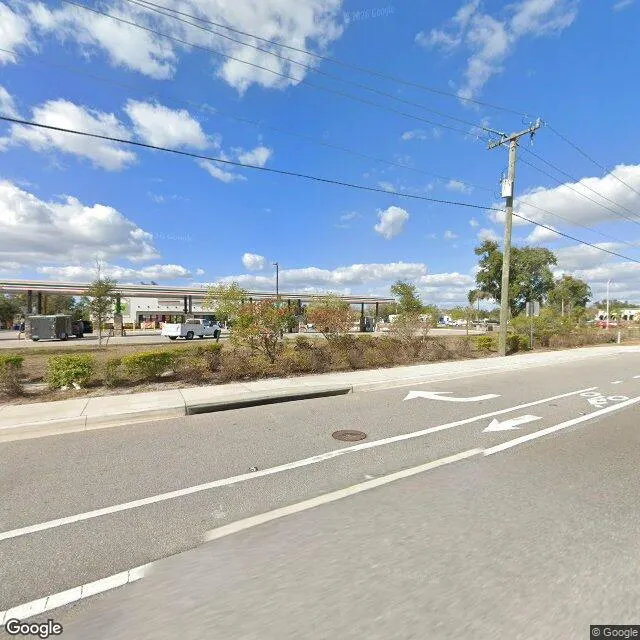
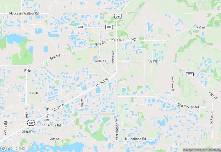
12060 US 301 N is a land property in the city of Parrish, Florida. It is located in the Manatee County region of the United States, and shares postal code 34219.
This location is a total of 10,560 square feet, has roof access, was built in 1963, includes 2 buildings, and has a floor area ratio of 0.102. The property has a 103,324 square foot lot area, and is zoned as A1.
12060 US 301 N
Land
1963
A1
10,560 sq ft
103,324 sq ft
1
2
0.102
1
Yes
No
12081001911
4/7/2026
9/21/2023