Loading...
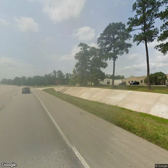
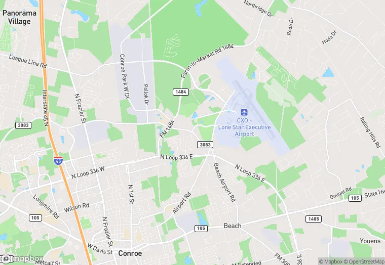
1209-1215 N FM 3083 Rd E is a industrial property in the city of Conroe, Texas. It is located in the Montgomery County region of the United States, and shares postal code 77303-1863.
This location is a total of 50,270 square feet, has roof access, was built in 2010, has a building area of 50,270 square feet, and a 151,153 square foot lot area. The property has a total power capacity of 0.33216 MW, a ceiling height of 24 feet, 68 parking spaces, and 2 loading docks. It has natural gas.
1209-1215 N FM 3083 Rd E
Industrial
2010
1
50,270 sq ft
50,270 sq ft
151,153 sq ft
1
24
68
2
0.33216 MW
Yes
Yes
No
3/12/2026
7/3/2025