Loading...
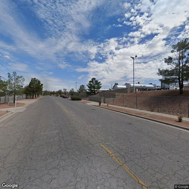
12100 Esther Lama Dr is a industrial property in the city of El Paso, Texas. It is located in the El Paso County region of the United States, and shares postal code 79936-7739.
This location is a total of 203,416 square feet, has roof access, was built in 1986, includes 4 buildings, and has a floor area ratio of 0.497. The property has 2 commercial units, a 409,673 square foot lot area, and is zoned as C4.
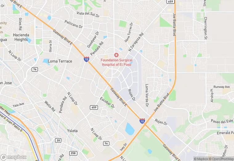
12100 Esther Lama Dr
Industrial
1986
C4
203,416 sq ft
409,673 sq ft
1
4
0.497
2
Yes
No
48141010338
3/12/2026
1/30/2025