Loading...
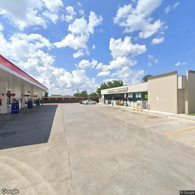
12702 Nw Military Hwy is a retail property in the city of San Antonio, Texas. It is located in the Bexar County region of the United States, and shares postal code 78231.
This location is a total of 48,120 square feet, has roof access, was built in 1999, has a floor area ratio of 1.049, and a 45,869 square foot lot area.

12702 Nw Military Hwy
Retail
1999
48,120 sq ft
45,869 sq ft
1
1
1.049
Yes
No
48029191405
3/10/2026
9/21/2023