Loading...
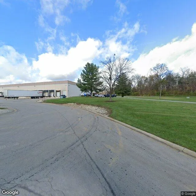
12710 Westport Rd is a industrial property in the city of Louisville, Kentucky. It is located in the Jefferson County region of the United States, and shares postal code 40245.
This location is a total of 65,639 square feet, has roof access, was built in 1997, has a building area of 65,639 square feet, and a 243,500 square foot lot area. The property is zoned as PEC-PLANNE, has 77 parking spaces, and 25 loading docks.
12710 Westport Rd
Industrial
1997
PEC-PLANNE
65,639 sq ft
65,639 sq ft
243,500 sq ft
1
77
25
No
No
3/12/2026
10/14/2025