Loading...
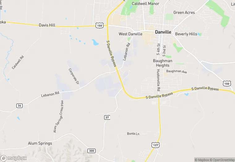
1711 S Danville Byp is a land property in the city of Danville, Kentucky. It is located in the Boyle County region of the United States, and shares postal code 40422-9499.
This location is a total of 181,706 square feet, has roof access, was built in 1999, has a floor area ratio of 0.244, and a 744,266 square foot lot area.
1711 S Danville Byp
Land
1999
181,706 sq ft
744,266 sq ft
1
1
0.244
Yes
No
21021930500
3/12/2026
1/29/2025