Loading...
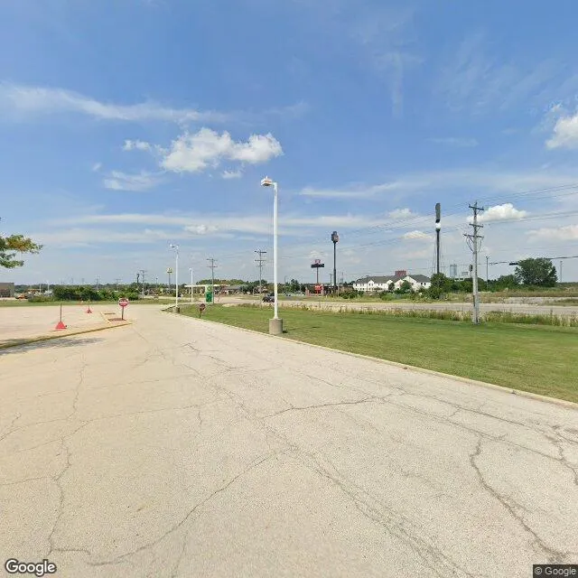
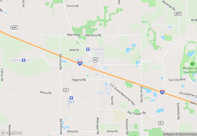
19 N 430 US Hwy 20 is a retail property in the city of Hampshire, Illinois. It is located in the Kane County region of the United States, and shares postal code 60140.
This location is a total of 19,328 square feet, has roof access, was built in 1960, has a floor area ratio of 0.029, and a 665,161 square foot lot area. The property is zoned as B1 DISTRIC.
19 N 430 US Hwy 20
Retail
1960
B1 DISTRIC
19,328 sq ft
665,161 sq ft
1
1
0.029
Yes
No
17089850702
4/8/2026
12/6/2023