Loading...
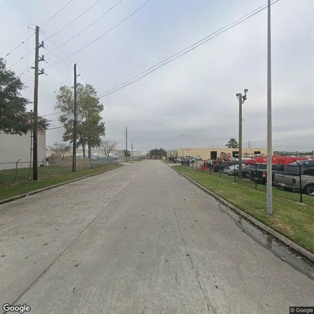
1950 S Starpoint Dr is a industrial property in the city of Houston, Texas. It is located in the Harris County region of the United States, and shares postal code 77032-5120.
This location is a total of 25,000 square feet, has roof access, was built in 1992, has a building area of 25,000 square feet, and a 93,654 square foot lot area. The property has a ceiling height of 24 feet, 25 parking spaces, and 13 loading docks.
1950 S Starpoint Dr
Industrial
1992
25,000 sq ft
25,000 sq ft
93,654 sq ft
1
24
25
13
Yes
No
3/12/2026
7/3/2025