Loading...

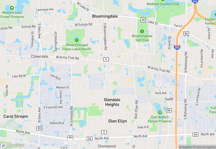
1969 Bloomingdale Rd is a land property in the city of Glendale Heights, Illinois. It is located in the DuPage County region of the United States, and shares postal code 60139.
This location is a total of 17,080 square feet, has roof access, was built in 1974, has a floor area ratio of 0.199, and a 85,641 square foot lot area. The property is zoned as C.
1969 Bloomingdale Rd
Land
1974
C
17,080 sq ft
85,641 sq ft
1
1
0.199
Yes
No
17043840904
4/7/2026
9/21/2023