Loading...
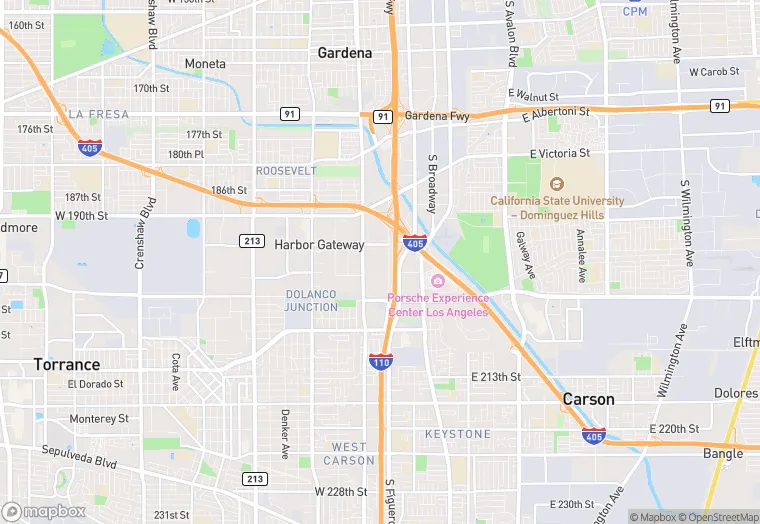
19701 Hamilton Ave is a office property in the city of Torrance, California. It is located in the Los Angeles County region of the United States, and shares postal code 90502-1352.
This location has 2 floors, roof access, was built in 1984, renovated in 2018, and has a building area of 122,277 square feet. The property has a 227,383 square foot lot area, is zoned as M3-1, and has 477 parking spaces.
19701 Hamilton Ave
Office
1984
2018
M3-1
122,277 sq ft
227,383 sq ft
2
477
Yes
No
3/12/2026
8/4/2025