Loading...
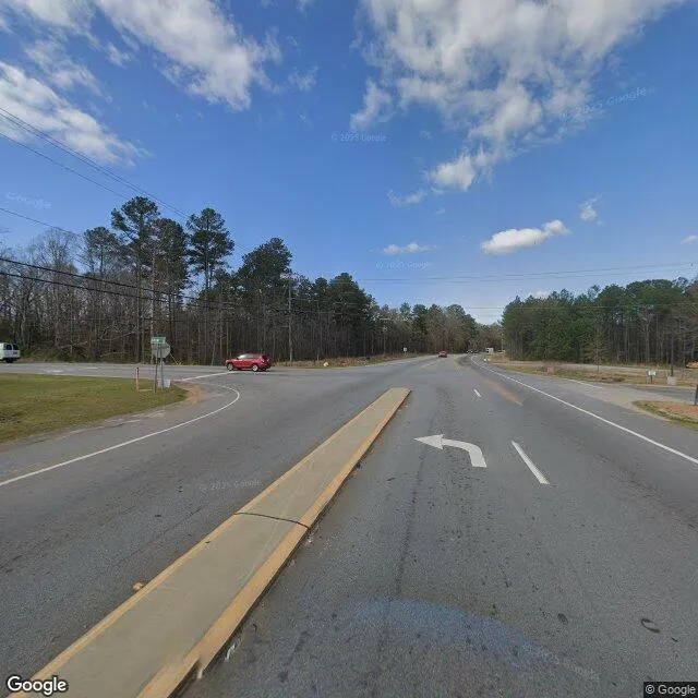
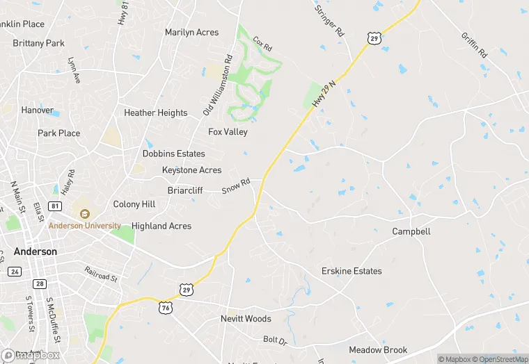
2012 Hwy 29 N is a property in the city of Anderson, South Carolina. It is located in the Anderson County region of the United States, and shares postal code 29621.
This location is a total of 3,080 square feet, has roof access, was built in 1979, and has a 43,560 square foot lot area.
2012 Hwy 29 N
None
1979
3,080 sq ft
43,560 sq ft
1
Yes
No
3/10/2026
9/21/2023