Loading...
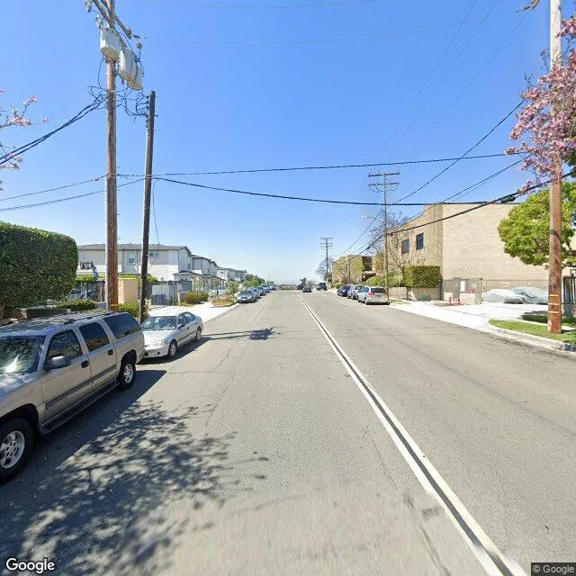
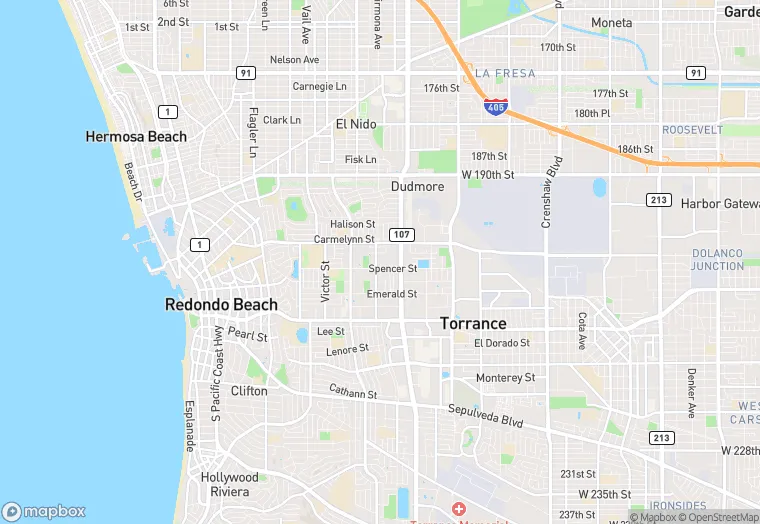
20428 Earl St is a office property in the city of Torrance, California. It is located in the Los Angeles County region of the United States, and shares postal code 90503.
This location is a total of 85,962 square feet, has roof access, was built in 1985, has a floor area ratio of 1.35, and a 63,654 square foot lot area. The property is zoned as TOMI-BP.
20428 Earl St
Office
1985
TOMI-BP
85,962 sq ft
63,654 sq ft
1
1
1.35
Yes
No
6037650602
3/12/2026
12/6/2023