Loading...
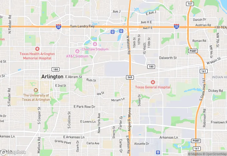
2120 E Abrams St is a property in the city of Arlington, Texas. It is located in the Tarrant County region of the United States, and shares postal code 76010.
This location is a total of 26,132 square feet, has roof access, was built in 1951, has a 18,731 square foot lot area, and is zoned as X.
2120 E Abrams St
None
1951
X
26,132 sq ft
18,731 sq ft
1
Yes
No
3/10/2026
9/21/2023