Loading...
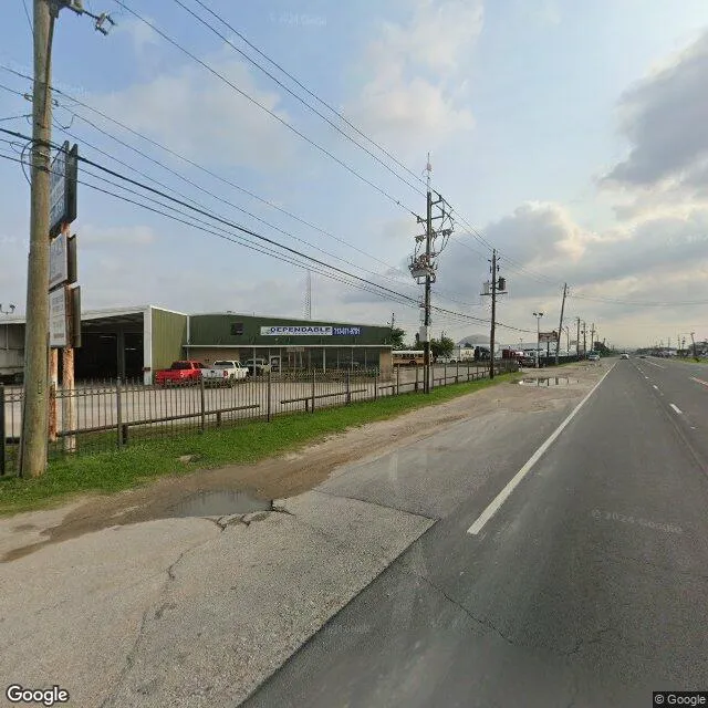
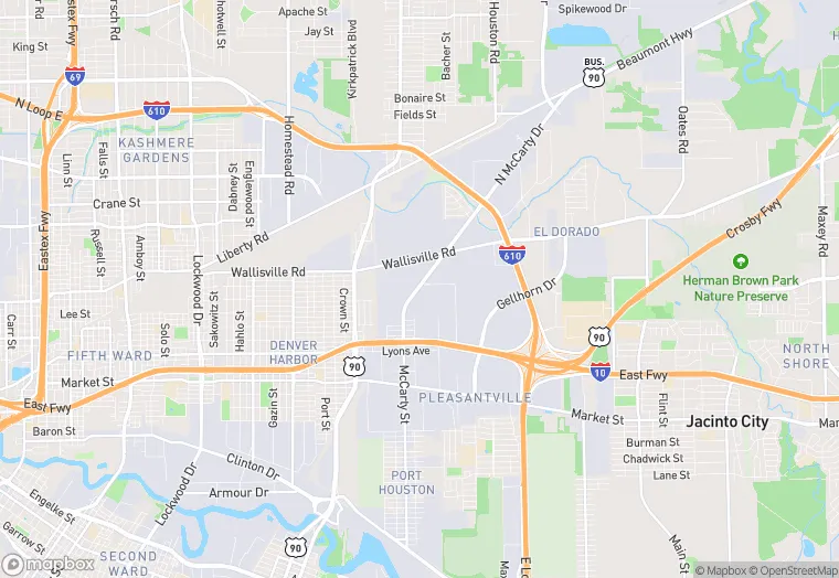
245 Mccarty Rd Bldg 1 is a industrial property in the city of Houston, Texas. It is located in the Harris County region of the United States, and shares postal code 77029.
This location is a total of 9,891 square feet, has roof access, was built in 1983, has a 22,216 square foot lot area, and 21 parking spaces.
245 Mccarty Rd Bldg 1
Industrial
1983
9,891 sq ft
22,216 sq ft
1
21
Yes
No
3/12/2026
8/4/2025