Loading...
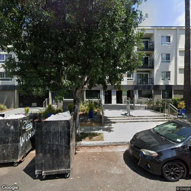
245 W Loraine St is a multi-family property in the city of Glendale, California. It is located in the Los Angeles County region of the United States, and shares postal code 91202.
This location is a total of 170,193 square feet, has 4 floors, roof access, was built in 1970, and has a floor area ratio of 2.193. The property has 132 residential units, a 77,603 square foot lot area, and is zoned as GLR4*.
245 W Loraine St
Multi-Family
1970
GLR4*
170,193 sq ft
77,603 sq ft
4
1
2.193
132
Yes
No
6037301203
3/10/2026
10/12/2023