Loading...
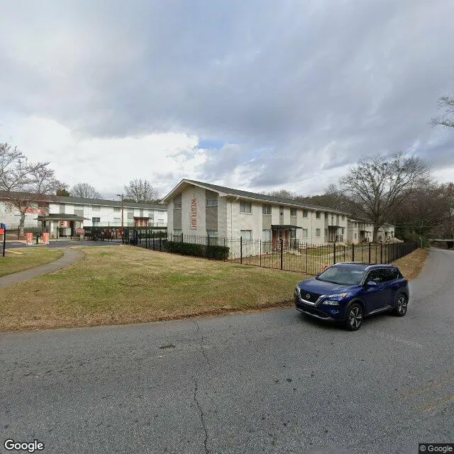
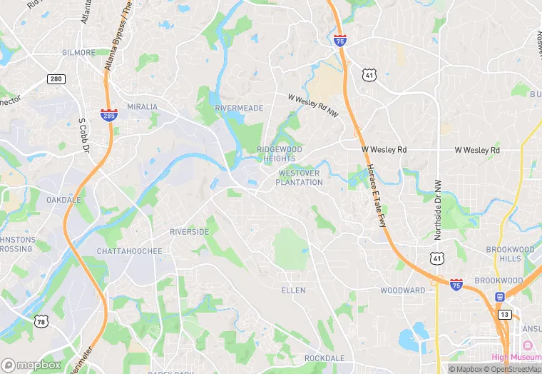
2453 Coronet Way NW is a multi-family property in the city of Atlanta, Georgia. It is located in the Fulton County region of the United States, and shares postal code 30318.
This location is a total of 185,194 square feet, has roof access, was built in 1965, includes 9 buildings, and has a floor area ratio of 0.61. The property has 192 residential units, a 303,613 square foot lot area, and is zoned as RG3.
2453 Coronet Way NW
Multi-Family
1965
RG3
185,194 sq ft
303,613 sq ft
1
9
0.61
192
Yes
No
13121008903
4/6/2026
11/14/2025