Loading...
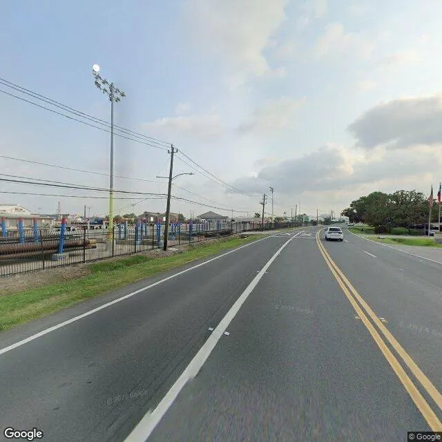
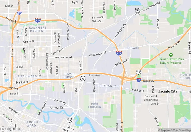
279-309 McCarty St Bldg 4 is a industrial property in the city of Houston, Texas. It is located in the Harris County region of the United States, and shares postal code 77029-1162.
This location is a total of 145,339 square feet, has 2 floors, roof access, was built in 1983, and has a 145,490 square foot lot area. The property has a ceiling height of 24 feet, 40 parking spaces, and 20 loading docks.
279-309 McCarty St Bldg 4
Industrial
1983
145,339 sq ft
145,490 sq ft
2
24
40
20
Yes
No
3/12/2026
8/4/2025