Loading...
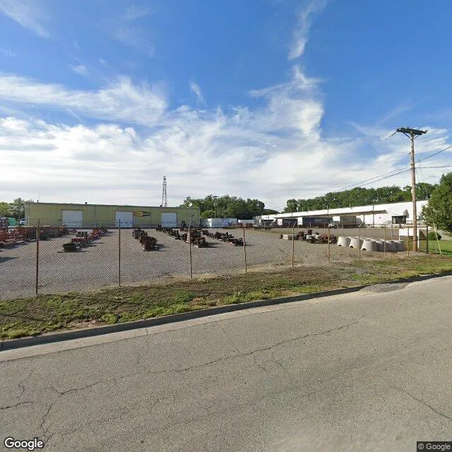
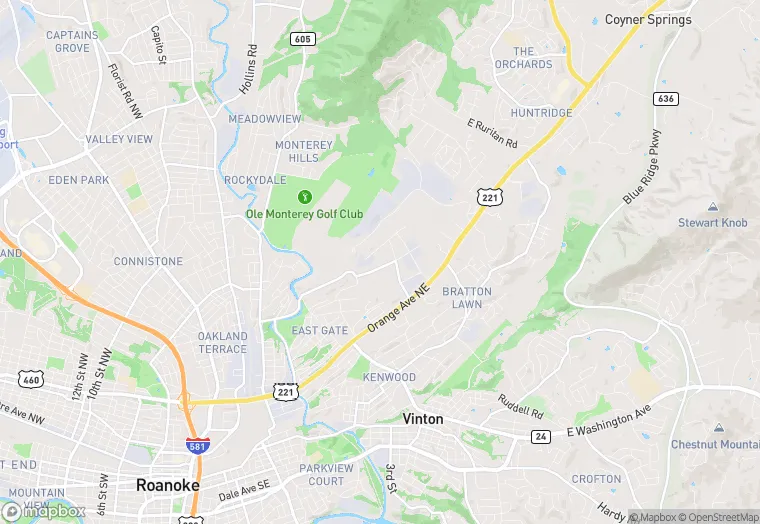
2820 Mary Linda Ave NE is a flex property in the city of Roanoke, Virginia. It is located in the United States, and shares postal code 24012.
This location is a total of 8,426 square feet, has roof access, was built in 1975, has a floor area ratio of 0.062, and a 135,918 square foot lot area. The property is zoned as I-1.
2820 Mary Linda Ave NE
Flex
1975
I-1
8,426 sq ft
135,918 sq ft
1
1
0.062
Yes
No
51770000601
3/12/2026
12/6/2023