Loading...

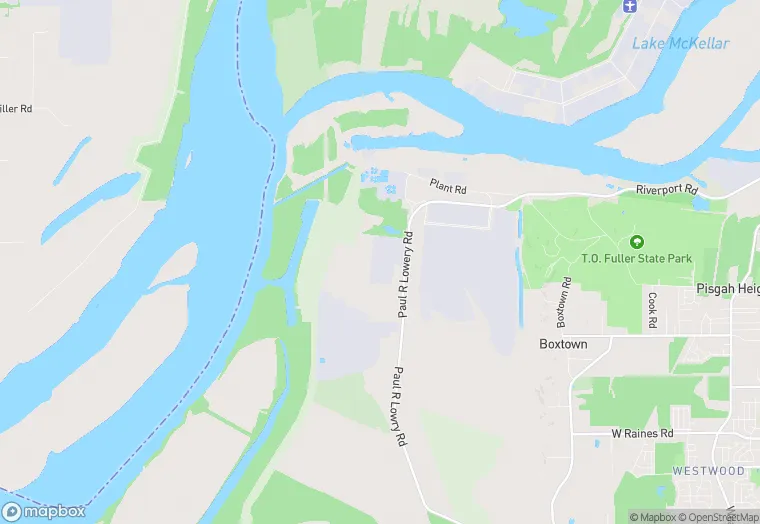
3231 Paul R Lowry Rd is a industrial property in the city of Memphis, Tennessee. It is located in the Shelby County region of the United States, and shares postal code 38109-3027.
This location is a total of 784,252 square feet, has roof access, was built in 2013, includes 3 buildings, and has a floor area ratio of 0.083. The property has a 9,470,162 square foot lot area, and is zoned as IH.
3231 Paul R Lowry Rd
Industrial
2013
IH
784,252 sq ft
9,470,162 sq ft
1
3
0.083
Yes
No
47157980300
3/12/2026
1/29/2025