Loading...

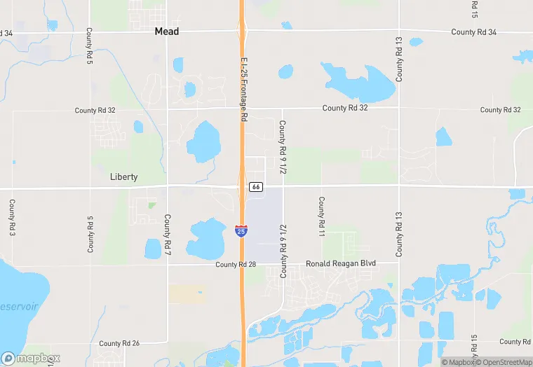
4301 State Hwy 66 is a land property in the city of Mead, Colorado. It is located in the Weld County region of the United States, and shares postal code 80542.
This location is a total of 14,400 square feet, has roof access, was built in 1988, has a floor area ratio of 0.152, and a 94,525 square foot lot area.
4301 State Hwy 66
Land
1988
14,400 sq ft
94,525 sq ft
1
1
0.152
Yes
No
8123002103
4/7/2026
9/21/2023