Loading...

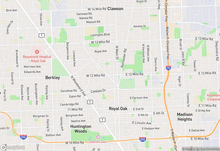
465 W Twelve Mile Rd is a industrial property in the city of Madison Heights, Michigan. It is located in the Oakland County region of the United States, and shares postal code 48071.
This location is a total of 36,241 square feet, has roof access, was built in 1969, has a floor area ratio of 0.272, and a 133,294 square foot lot area. The property is zoned as M-1 LT.
465 W Twelve Mile Rd
Industrial
1969
M-1 LT
36,241 sq ft
133,294 sq ft
1
1
0.272
Yes
No
26125181200
3/10/2026
12/6/2023