Loading...
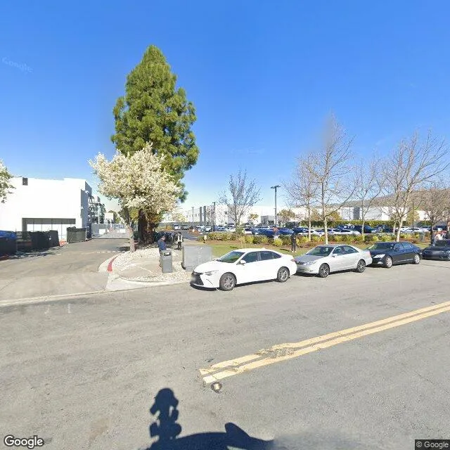
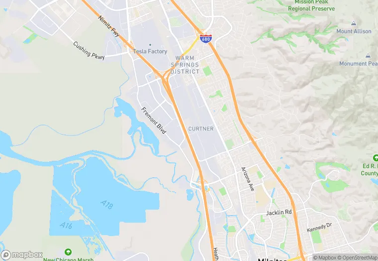
47700 Kato Rd is a industrial property in the city of Fremont, California. It is located in the Alameda County region of the United States, and shares postal code 94538.
This location is a total of 198,755 square feet, has 2 floors, roof access, was built in 1997, and has a floor area ratio of 0.49. The property has a 405,413 square foot lot area.
47700 Kato Rd
Industrial
1997
198,755 sq ft
405,413 sq ft
2
1
0.49
Yes
No
6001441503
3/12/2026
12/6/2023