Loading...
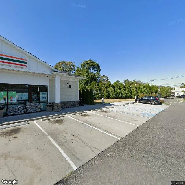
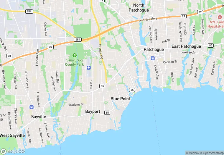
49 Montauk Hwy is a flex property in the city of Blue Point, New York. It is located in the Suffolk County region of the United States, and shares postal code 11715.
This location has roof access, and a 37,897 square foot lot area.
49 Montauk Hwy
Flex
37,897 sq ft
1
Yes
No
36103158802
3/10/2026
9/21/2023