Loading...
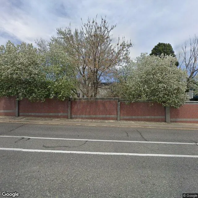
7569 W 72nd Ave is a industrial property in the city of Arvada, Colorado. It is located in the Jefferson County region of the United States, and shares postal code 80003.
This location is a total of 96,546 square feet, has roof access, was built in 2008, includes 10 buildings, and has a floor area ratio of 0.469. The property has a building area of 11,946 square feet, a 38,333 square foot lot area, is zoned as I-1, and has a total power capacity of 0.3321 MW. It has a ceiling height of 21 feet.
5046 W 58th Ave Bldg 4
Industrial
2008
I-1
96,546 sq ft
11,946 sq ft
38,333 sq ft
1
10
21
0.469
1
0.3321 MW
Yes
No
8059010208
3/8/2026
5/10/2023