Loading...
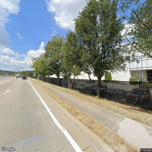
5607 National Tpke is a industrial property in the city of Louisville, Kentucky. It is located in the Jefferson County region of the United States, and shares postal code 40214.
This location is a total of 285,378 square feet, has roof access, was built in 2001, has a floor area ratio of 0.39, and a building area of 278,117 square feet. The property has a 731,460 square foot lot area, is zoned as EZ1-ENTERPRISE ZONE, has 250 parking spaces, and 27 loading docks.
5607 National Tpke
Industrial
2001
EZ1-ENTERPRISE ZONE
285,378 sq ft
278,117 sq ft
731,460 sq ft
1
0.39
250
27
Yes
No
21111009103
3/12/2026
3/27/2025