Loading...
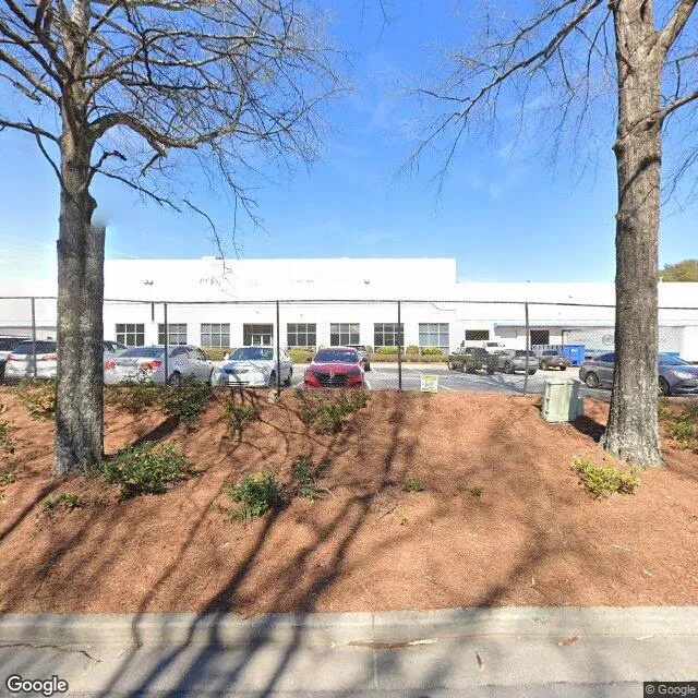
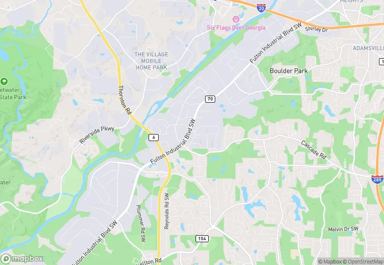
5901 Bakers Ferry Rd SW is a industrial property in the city of Atlanta, Georgia. It is located in the Fulton County region of the United States, and shares postal code 30336-2678.
This location is a total of 220,247 square feet, has roof access, was built in 1989, renovated in 2014, and has a 691,733 square foot lot area. The property is zoned as M2, has a total power capacity of 2.4911999999999996 MW, a ceiling height of 24 feet, and 192 parking spaces. It has 3 loading docks.
5901 Bakers Ferry Rd SW
Industrial
1989
2014
M2
220,247 sq ft
691,733 sq ft
1
24
192
3
2.4911999999999996 MW
Yes
No
3/12/2026
8/4/2025