Loading...
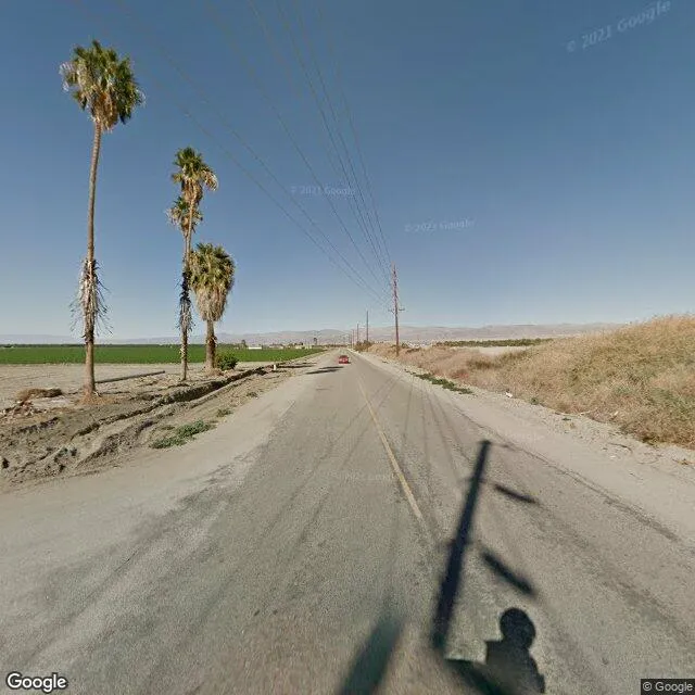
59th Ave is a land property in the city of Thermal, California. It is located in the Riverside County region of the United States, and shares postal code 92274.
This location has roof access, a 2,419,758 square foot lot area, and is zoned as A2200.
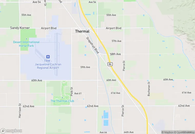
59th Ave
Land
A2200
2,419,758 sq ft
Yes
No
3/12/2026
8/4/2025