Loading...
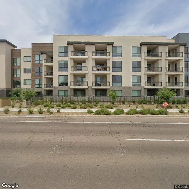
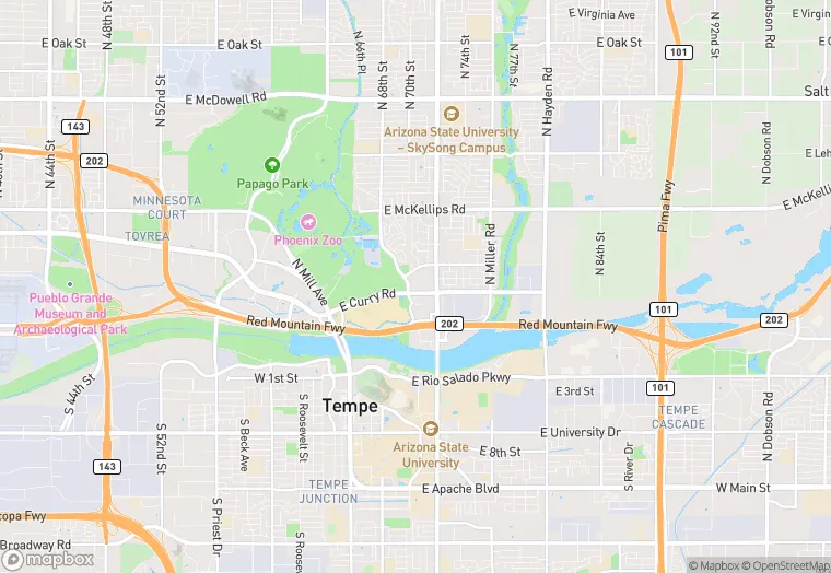
600 E Curry Rd is a land property in the city of Tempe, Arizona. It is located in the Maricopa County region of the United States, and shares postal code 85281.
This location is a total of 469,012 square feet, has roof access, was built in 1975, has a floor area ratio of 0.945, and a 496,279 square foot lot area. The property is zoned as MU-4.
600 E Curry Rd
Land
1975
MU-4
469,012 sq ft
496,279 sq ft
1
1
0.945
Yes
No
4013320100
3/14/2026
11/14/2025