Loading...
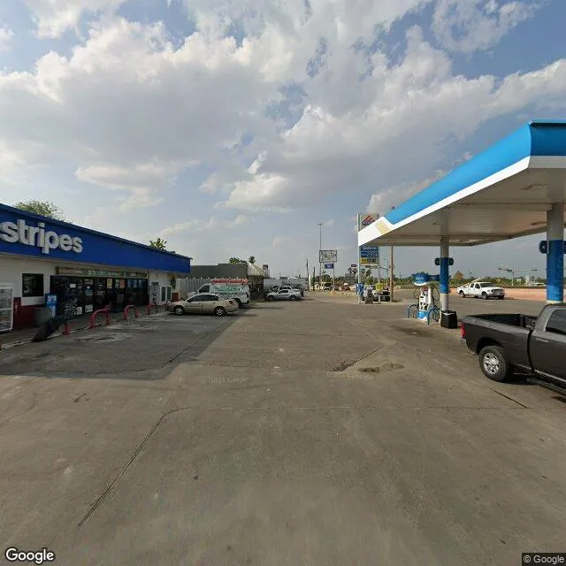
602 N Zapata Hwy is a retail property in the city of Laredo, Texas. It is located in the Webb County region of the United States, and shares postal code 78043.
This location is a total of 2,418 square feet, has roof access, was built in 1984, has a floor area ratio of 0.151, and a 15,965 square foot lot area. The property is zoned as B-3.
602 N Zapata Hwy
Retail
1984
B-3
2,418 sq ft
15,965 sq ft
1
1
0.151
Yes
No
48479000101
3/10/2026
9/21/2023