Loading...
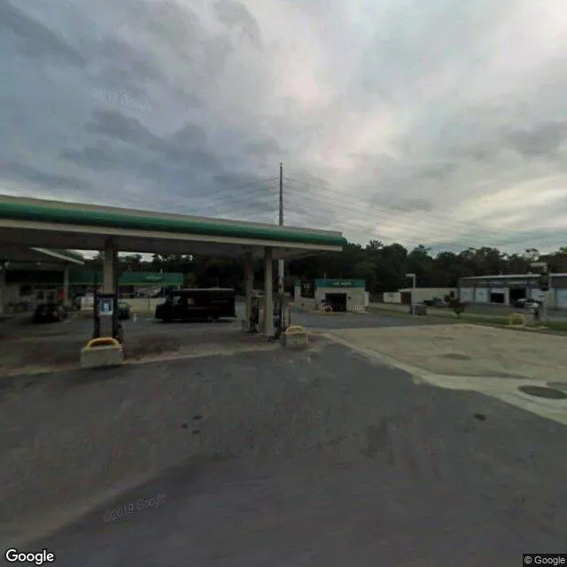
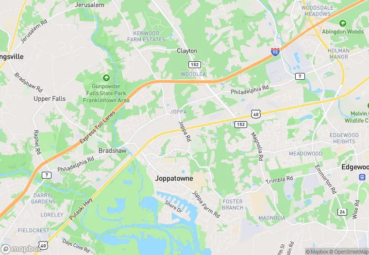
602 Pulaski Hwy is a retail property in the city of Joppa, Maryland. It is located in the Harford County region of the United States, and shares postal code 21085.
This location is a total of 3,040 square feet, has roof access, was built in 1998, has a floor area ratio of 0.039, and a 77,537 square foot lot area. The property is zoned as CI.
602 Pulaski Hwy
Retail
1998
CI
3,040 sq ft
77,537 sq ft
1
1
0.039
1
Yes
No
24025301301
3/10/2026
9/21/2023