Loading...
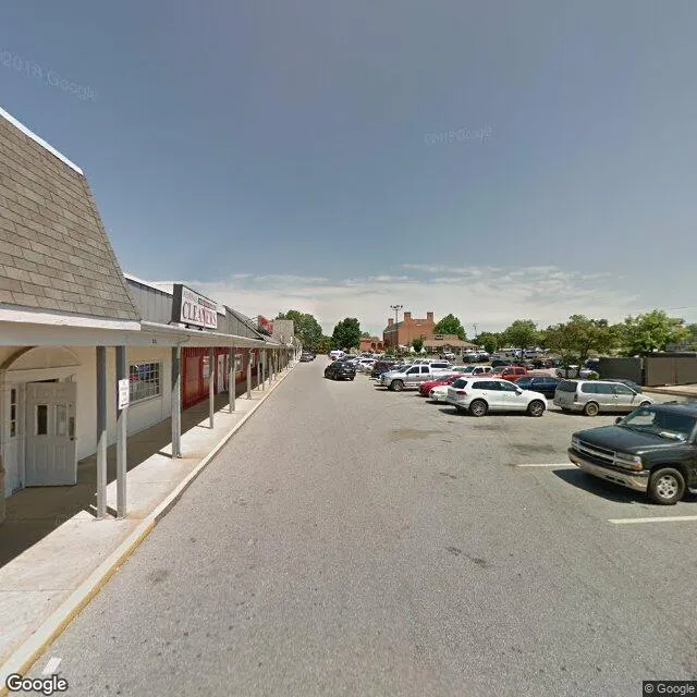
6285 Crain Hwy is a retail property in the city of La Plata, Maryland. It is located in the Charles County region of the United States, and shares postal code 20646.
This location is a total of 27,392 square feet, has roof access, was built in 1979, includes 4 buildings, and has a floor area ratio of 0.144. The property has 4 residential units, a 190,793 square foot lot area, and is zoned as CH.

6285 Crain Hwy
Retail
1979
CH
27,392 sq ft
190,793 sq ft
1
4
0.144
4
Yes
No
24017851001
3/10/2026
9/21/2023