Loading...
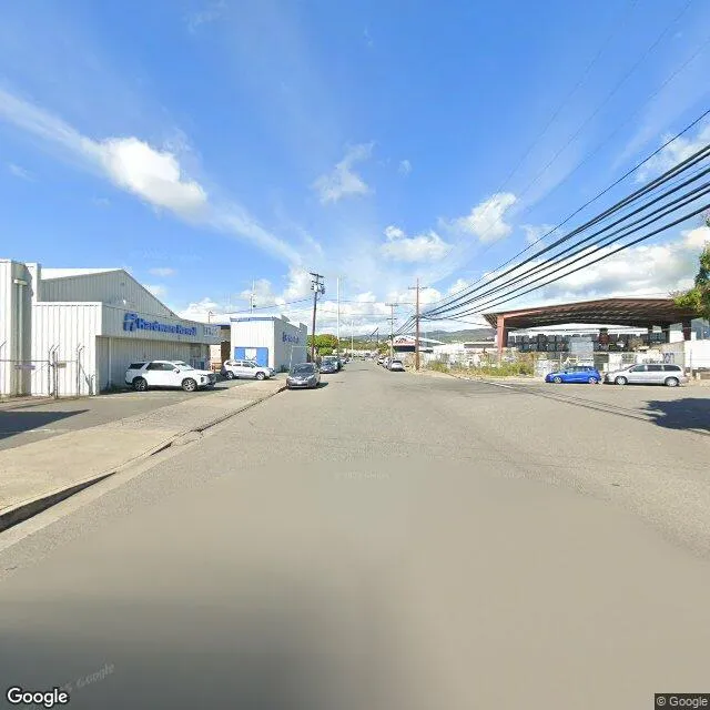
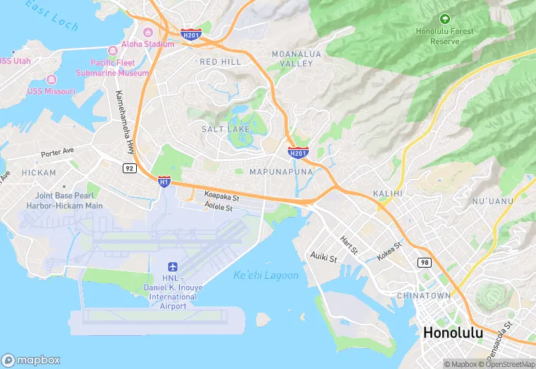
692 Mapunapuna St is a property in the city of Honolulu, Hawaii. It is located in the Honolulu County region of the United States, and shares postal code 96819.
This location is a total of 13,362 square feet, has roof access, was built in 2021, has a 35,022 square foot lot area, and is zoned as X.
692 Mapunapuna St
None
2021
X
13,362 sq ft
35,022 sq ft
1
Yes
No
3/10/2026
12/6/2023