Loading...
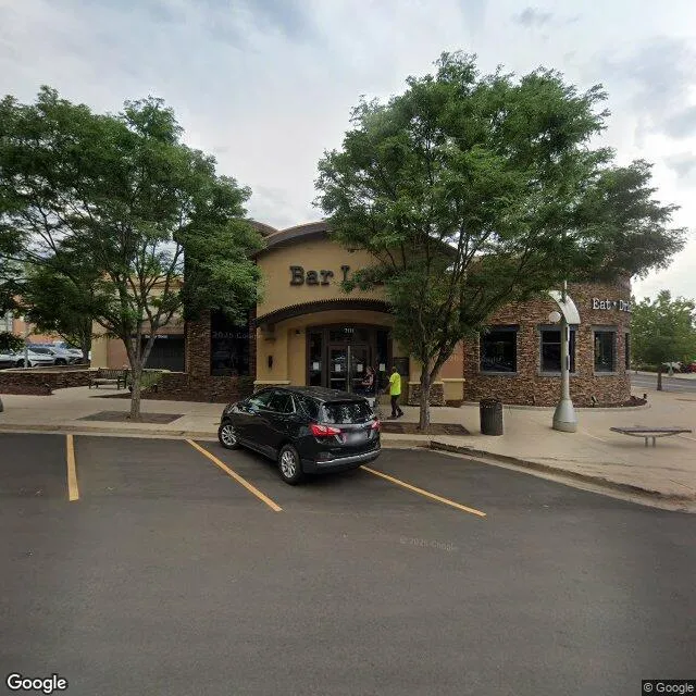
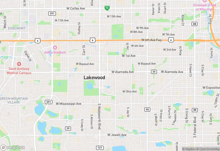
7111 W Alaska Dr is a retail property in the city of Denver, Colorado. It is located in the Jefferson County region of the United States, and shares postal code 80226.
This location is a total of 7,730 square feet, has roof access, was built in 2004, has a floor area ratio of 0.833, and a 13,068 square foot lot area.
7111 W Alaska Dr
Retail
2004
7,730 sq ft
13,068 sq ft
1
1
0.833
1
Yes
No
8059011805
3/14/2026
11/14/2025