Loading...
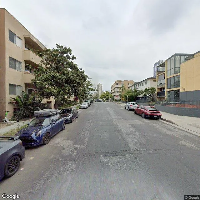
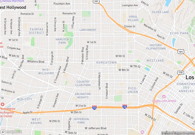
715 S. St. Andrews Pl. is a multi-family property in the city of Los Angeles, California. It is located in the Los Angeles County region of the United States, and shares postal code 90005.
This location is a total of 23,488 square feet, has 4 floors, roof access, was built in 1927, and has a floor area ratio of 3.13. The property has 42 residential units, a 7,504 square foot lot area, and is zoned as LAR4.
715 S. St. Andrews Pl.
Multi-Family
1927
LAR4
23,488 sq ft
7,504 sq ft
4
1
3.13
42
No
No
6037212610
3/14/2026
11/14/2025