Loading...
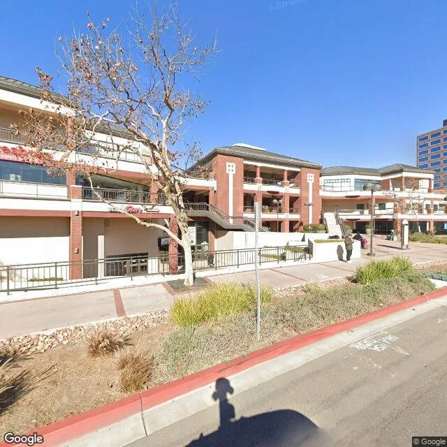
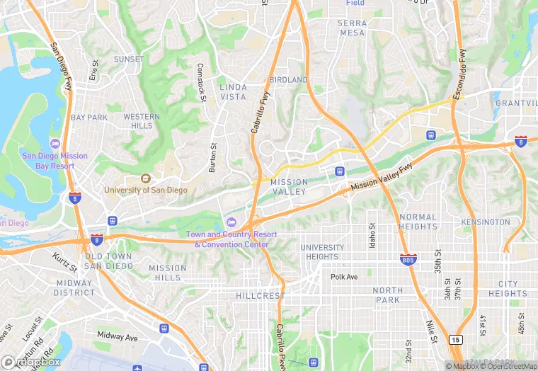
7510-7610 Hazard Center Dr is a retail property in the city of San Diego, California. It is located in the San Diego County region of the United States, and shares postal code 92108-4521.
This location is a total of 99,999 square feet, has 3 floors, roof access, was built in 1991, and has a floor area ratio of 0.194. The property has a 514,444 square foot lot area, and is zoned as EMX-2.
7510-7610 Hazard Center Dr
Retail
1991
EMX-2
99,999 sq ft
514,444 sq ft
3
1
0.194
Yes
No
6073009304
3/12/2026
1/30/2025