Loading...
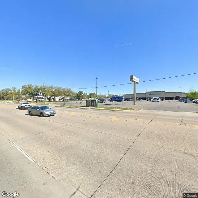
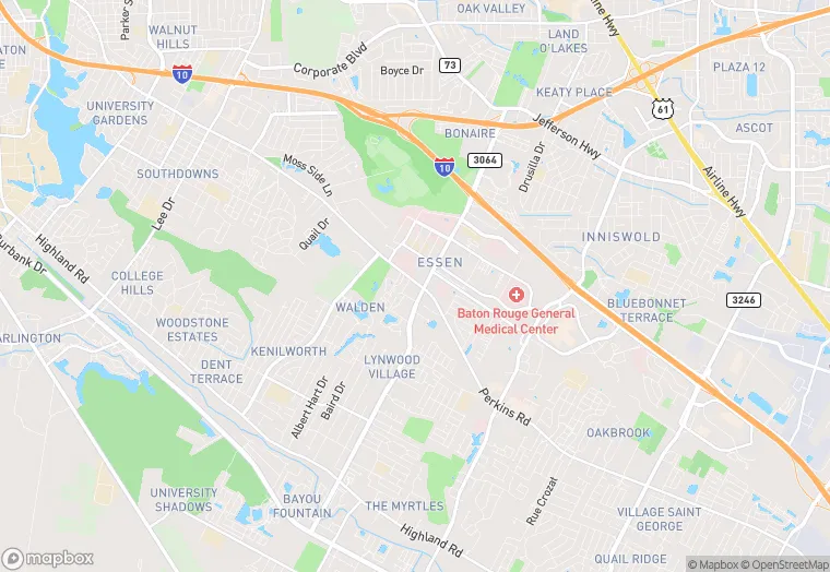
7520 Perkins Rd is a flex property in the city of Baton Rouge, Louisiana. It is located in the East Baton Rouge Parish region of the United States, and shares postal code 70808-9111.
This location is a total of 3,900 square feet, has roof access, was built in 1985, has a floor area ratio of 0.07, and 49 commercial units. The property has a 1,482 square foot lot area.
7520 Perkins Rd
Flex
1985
3,900 sq ft
1,482 sq ft
1
1
0.07
49
Yes
No
22033002602
3/12/2026
1/30/2025