Loading...

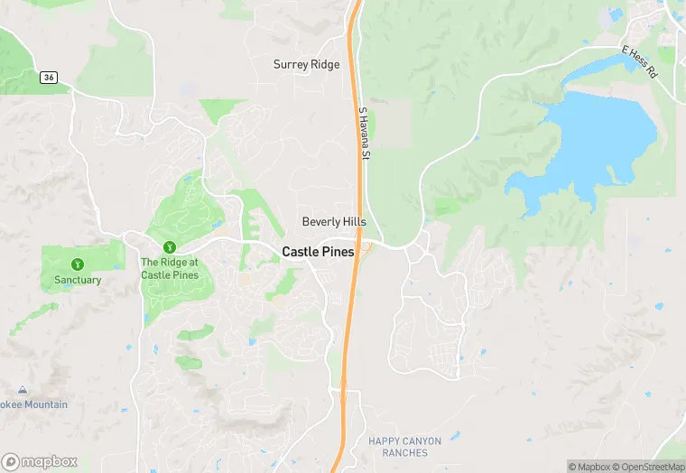
7610 Debbie Ln is a retail property in the city of Castle Rock, Colorado. It is located in the Douglas County region of the United States, and shares postal code 80108.
This location is a total of 5,105 square feet, has roof access, was built in 2002, includes 2 buildings, and has a floor area ratio of 0.083. The property has a 50,530 square foot lot area, and is zoned as ER.
7610 Debbie Ln
Retail
2002
ER
5,105 sq ft
50,530 sq ft
1
2
0.083
1
Yes
No
8035014125
4/7/2026
9/21/2023